
South Pole
−65 °C
Amundsen–Scott · NZSP observation
Observed: 13/09/2026 05:50 UTC
Saved record; check its date.
NOAA · NZSP ↗ (opens a new tab)
INDEPENDENT OBSERVATORY / TIERRA DEL FUEGO
Information, opportunities and services to explore, work, research and operate in Antarctica.
Enter the continent ↘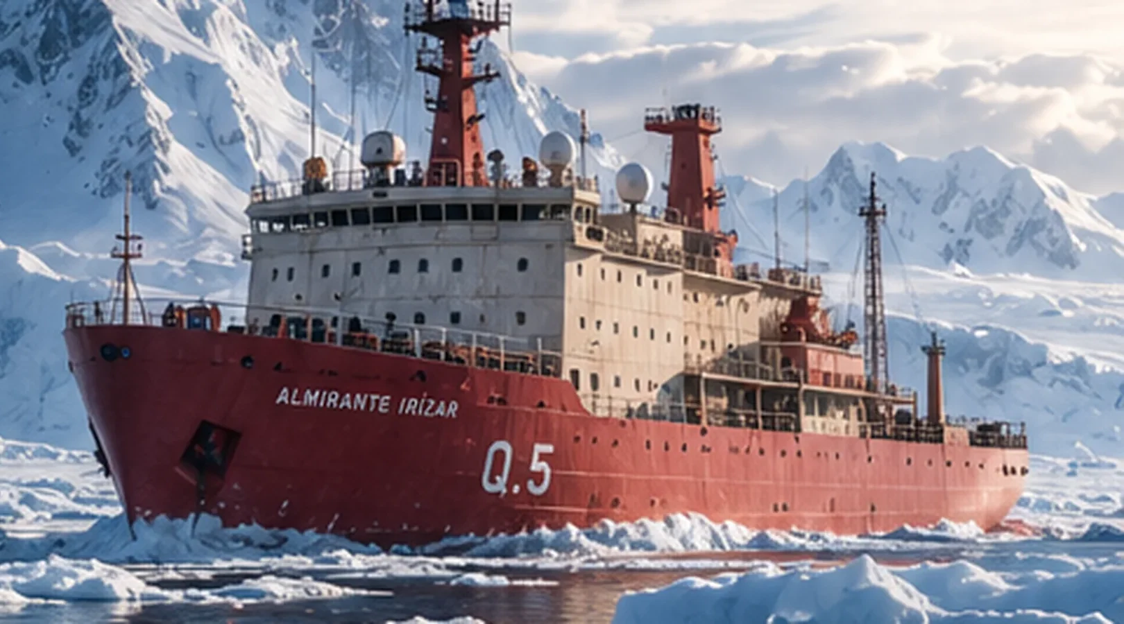
Amundsen–Scott · NZSP observation
Observed: 13/09/2026 05:50 UTC
Saved record; check its date.
NOAA · NZSP ↗ (opens a new tab)Phoenix Airfield · not a reading at the centre of the station
Observed: 03/09/2026 05:55 UTC
Saved record; check its date.
NOAA · NZFX ↗ (opens a new tab)Antarctic airfield · SCRM observation
Observed: 13/09/2026 09:00 UTC
Saved record; check its date.
NOAA · SCRM ↗ (opens a new tab)Clock and observations use UTC. Temperature refers to the indicated location. Observations older than 6 hours are marked as archived.
Saved snapshot. Automatic updates require a connection to the service.
IN DEPTH / OUR INVESTIGATIONS
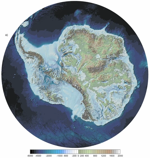
13Antarctica is not a flat white surface. Mountains, basins and valleys lie beneath its ice sheet. Bedmap3 uses decades of scientific measurements to improve our view of that buried landscape.
Explore the investigation ↗BEDMAP3 / BED
MORE QUESTIONS. MORE CONTINENT.
ED01 / GUIDE
ED05 / GUIDE
ED15 / EXPLORER
ED18 / REPORT
GLOBAL RADAR · WORLD PRESS
Automatic detection of Antarctic mentions across international media: regular signals remain visible for up to 24 hours and relevant signals for up to 36 hours from first detection. The radar scans global coverage, applies a contextual filter, removes duplicates and preserves a direct link to the original outlet.
Detection sources: GDELT Project ↗ + Bing News RSS as fallback. Appearance in this radar does not imply editorial endorsement by RADAR ANTÁRTIDA. Headlines belong to their respective outlets. The system applies a contextual filter to reduce casual or off-topic mentions, removes duplicates and preserves the original outlet link when available.
WORK / OPPORTUNITIES
Argentina · Closed 20 MAY 2026
Argentina · General requirements
Australia · OPEN UNTIL 1 NOV 2026
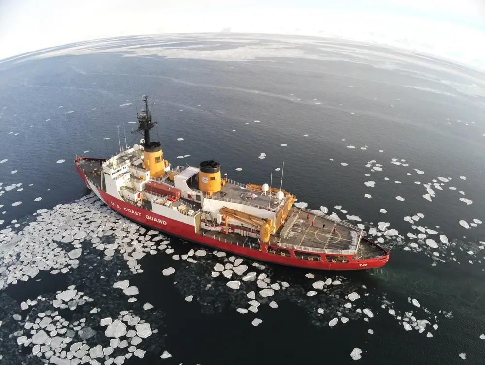 U.S. COAST GUARD · PUBLIC DOMAIN
TRAVEL / GATEWAY CITIES
11 SEP 2026 · SCIENCE
The new method combines hydrographic parameters and neural networks to estimate meltwater input without fixing rigid freshwater compositions.
Nature Communications (opens a new tab)10 SEP 2026 · SCIENCE
Zircon analysis offers a new view of the growth and evolution of the preserved Antarctic continental mass.
Communications Earth & Environment (opens a new tab)SIGNAL ATLAS / TERRITORIAL CONTEXT
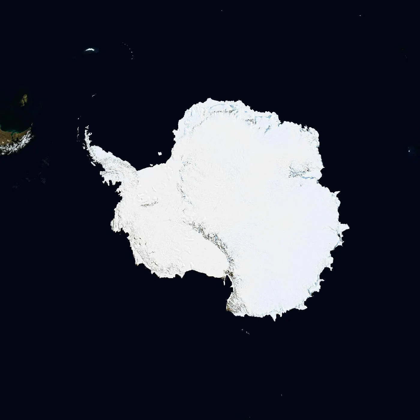
Stations, vessels, programmes and gateways: locations, capabilities and sources to explore further.
OPERATE / CAPABILITIES
An initial provider directory. Inclusion is not certification: confirm scope and availability with each organisation.
FUTURE / NEXT SIGNALS
An announcement does not establish completion. Sources and the next signal to verify.
Monitoring · progress not certified
Argentina.gob.ar (opens a new tab) Background and next signal ↗Monitoring · progress not certified
Argentina.gob.ar (opens a new tab) Background and next signal ↗Monitoring · progress not certified
Argentina.gob.ar (opens a new tab) Background and next signal ↗Monitoring · progress not certified
PAIX (opens a new tab) Background and next signal ↗TRACKING
Background editorial context. Dates show when the cited source was published; these cards do not replace GLOBAL RADAR and are not presented as breaking news.
10 SEP 2026 · STRATEGY / LOGISTICS
In September 2026, Argentina’s Foreign Ministry said Decree 867/2026 allocated more than ARS 200 billion to the Ushuaia Integrated Naval Base and Petrel, linking both projects to an expanded logistics offering towards Antarctica.
Argentina.gob.ar (opens a new tab)29 JUL 2026 · INFRASTRUCTURE
Argentina’s port authority awarded the replacement of 75 pier fenders, a project worth more than US$2.5 million intended to improve operational safety and port capability.
Argentina.gob.ar (opens a new tab)14 SEP 2026 · TOURISM / PORT
The port authority reported more than 590 passenger-vessel calls confirmed for the 2026–27 season. This is an all-cruise port figure and does not equal the number of Antarctic travellers.
Argentina.gob.ar (opens a new tab)